Ontario Line plans: Travel time savings and heritage protections
Here are the refined Ontario Line plans, as teams learn more about geography and infrastructure.
Sep 17, 2020
Refinements to the Ontario Line route between the Exhibition Grounds and Spadina Avenue, released today, will give riders shorter trips and reduce construction impacts by straightening out two bends into a diagonal line that will go in and out of a new station at King and Bathurst.
Details on the updated alignment were posted today on the newly revamped Ontario Line Metrolinx Engage website, where members of the public can share comments and suggestions on the refinements.
Metrolinx has been adjusting plans in response to public input and new information gained as planners look at the geography of the route in increasingly fine detail.
“There is a natural progression to any project,” said Michael Tham, the Metrolinx deputy technical director for the Ontario Line. “We are constantly advancing the design as we get a better understanding of the context around the route.
“We have had lots of engagement with utility companies, the TTC, the city and the public,” Tham said. “The insights shared in these vital conversations are helping us to deliver the best project possible for the communities we’ll be serving.”
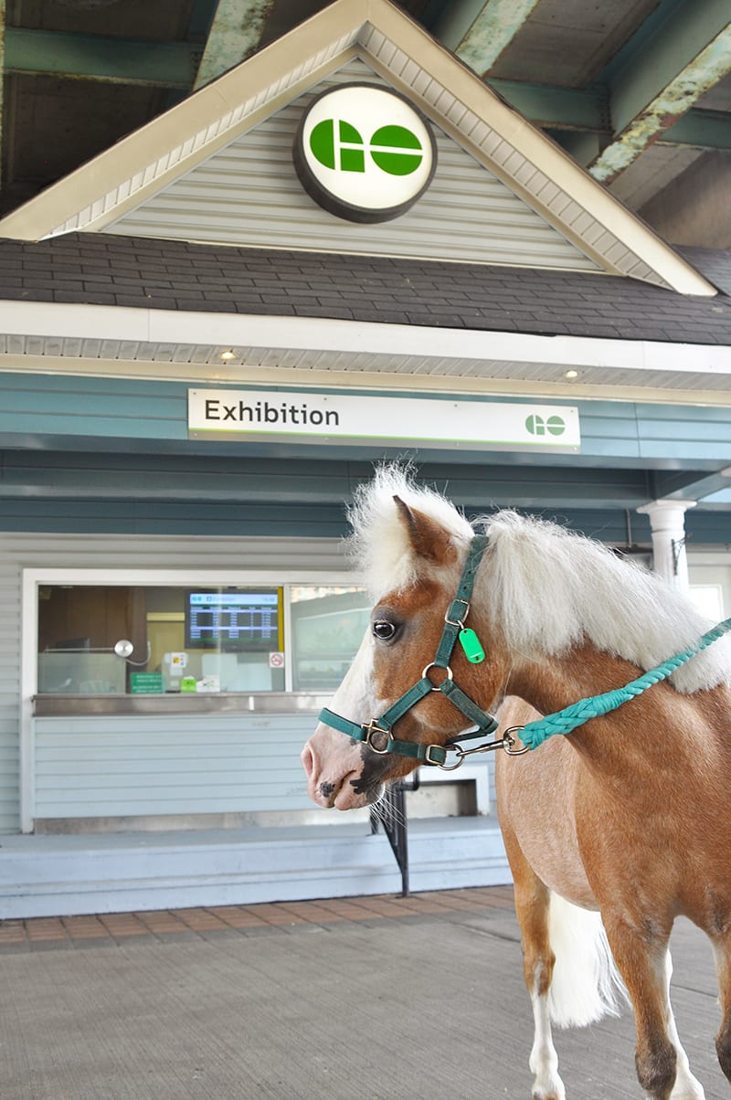
Exhibition GO station is at the western terminus on the route. The pony? Just part of the constant colour in the area that hosts the annual Canadian National Exhibition. (Metrolinx photo)
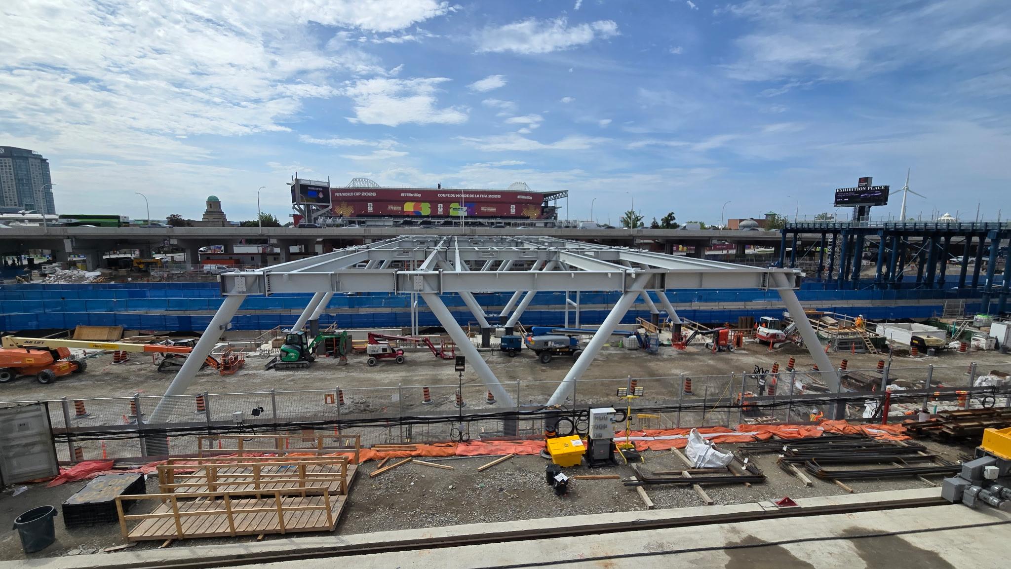
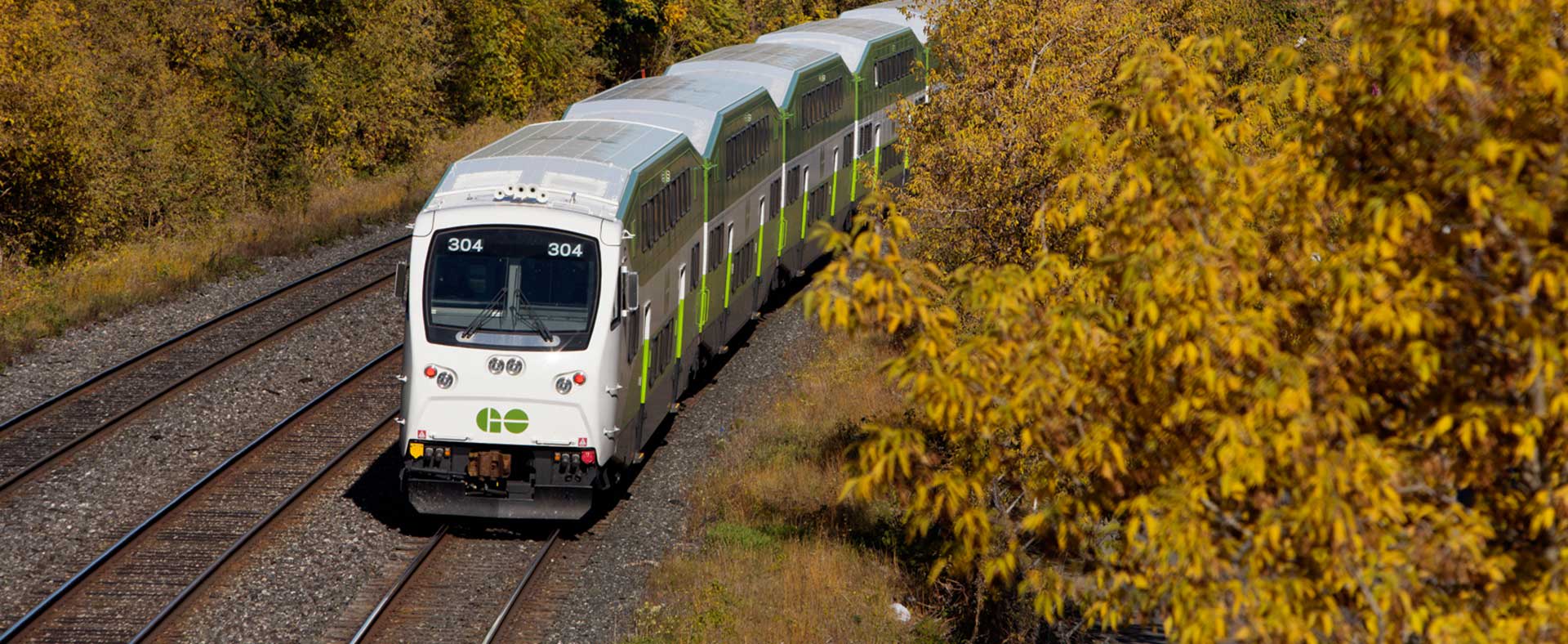
Let’s look at part of the newly refined plan, starting at its western terminus – the existing Exhibition GO Station. Not only will this station provide connections for GO Train commuters, it will also bring the subway system closer to Liberty Village, easing crowding for condo dwellers who now use the busy 504 King streetcar line.
Current research shows there are 18,900 people and 24,100 jobs within 500 metres of the station, and that number will continue to grow.
At this point, the Ontario Line tracks will be at surface level, along the existing GO Train corridor.
Subway trains will go underground through a portal, opening west of the Strachan Avenue bridge, leading into a tunnel under the future location of Ordnance Park, on the east side of that street, just north of the Fort York National Historic Site.
Looking at the geology under the city, this is the best possible spot for tunnel boring machines to enter Toronto’s underground.

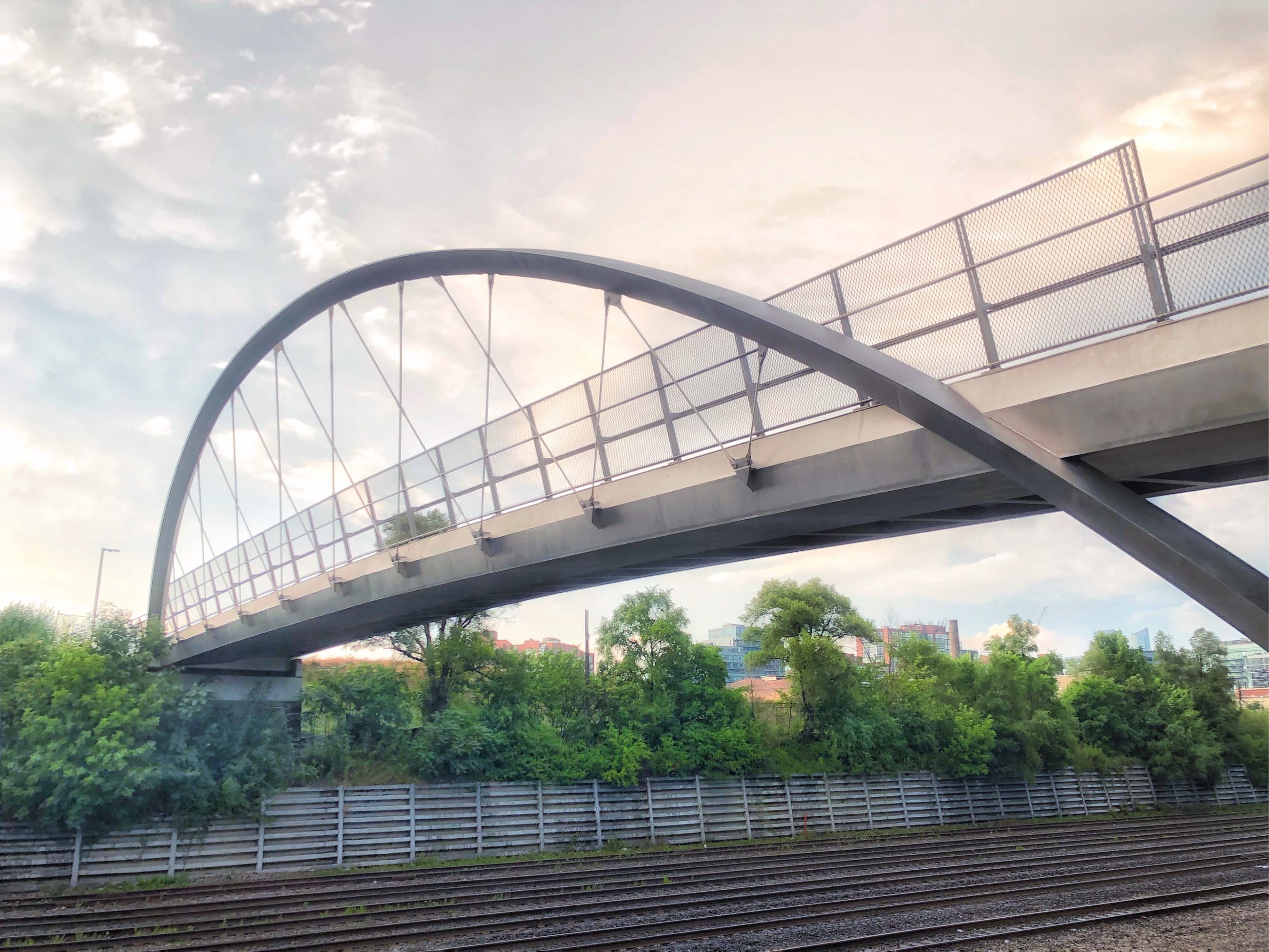
Plans are to preserve Garrison Crossing, the pedestrian bridge that spans the rail corridors in the area and connects with the future park site. (Metrolinx image)
“The downtown tunnels will have to go through soft soil and bedrock,” Tham said. “At Ordnance Park, our alignment is fully within bedrock, and that will reduce tunnelling risks by removing the soil interface the tunnelling machines would otherwise have to go through.”
Plans are to preserve Garrison Crossing, the pedestrian bridge that spans the rail corridors in the area and connects with the future park site. While there may be times when it will be closed due to construction work, Metrolinx is studying ways to minimize impacts and maintain pedestrian and cycling access across the rail corridors for the duration of the project.
In the short term, the Ordnance Park site will be needed to support tunnel construction. After construction is finished, and the equipment is gone, an opportunity to create a new park above the tunnel will be available for City of Toronto programming, in keeping with their existing plans for the site.
“We believe that once the construction is complete, you wouldn’t even know there is a tunnel right below you,” Tham said.
Tham went on to compare the future of the site to Winston Churchill Park at St. Clair and Spadina, which is widely used by people who may not be aware of a giant reservoir underneath the lush greenspace.
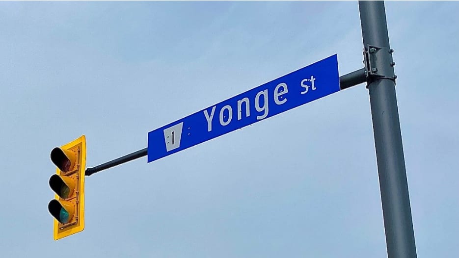
The new diagonal line will go in and out of a new station on King Street West, after planners chose to smooth out two very tight turns, on and off of land below Bathurst Street.
“By straightening out the curve and going diagonal, we can give passengers a ride that is smoother, faster and more comfortable, with the added benefit that it will also reduce track maintenance,” Tham said. “We looked at the challenges and complexity of 90 degree turns, how deep the tunnels would have to be to avoid impacting existing buildings in that neighbourhood and the number of properties that would be impacted.
“We discovered that if we rotated the King-Bathurst Station diagonally, we could provide riders a more direct route, reduce our capital costs and help reduce property impacts. It just makes more sense when you look at the big picture.”
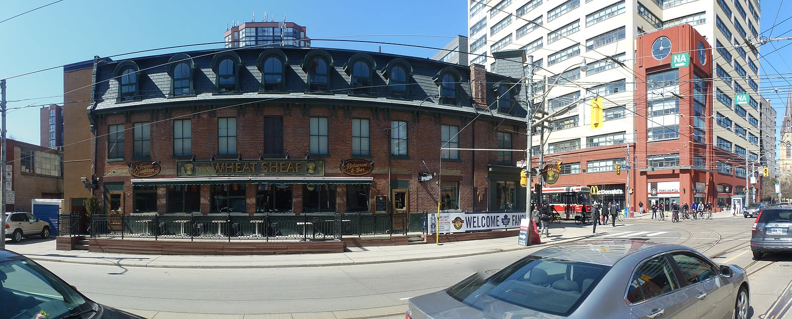
The historic Wheat Sheaf Tavern on the corner of King and Bathurst will stay standing, thanks to a change in alignment to Ontario Line. (Wikimedia Commons image)
This change in alignment also means that a favourite pub for many Torontonians will stay standing long into the future – the historic Wheat Sheaf Tavern on the corner of King and Bathurst.
Built in 1849, the landmark building with the distinctive mansard roof is widely believed to be the oldest pub in Toronto.
The station at this intersection will serve residents and businesses along King Street West, with connections to both the 504 King and 511 Bathurst streetcars.
“King West is a vibrant area – a hot spot for new housing, tech jobs, restaurants and nightlife, mixed in with some beautiful old buildings,” said Devin Horne, Metrolinx manager of project planning. “It’s a great mixed-use neighbourhood with both residential and employment uses, and it’s a place like this where rapid transit flourishes.”
From there, the diagonal route will continue northeast, gently curving to run below Queen Street West to a new station at Spadina Avenue, giving customers new connections to the 510 Spadina and 501 Queen streetcars.
The station will be adjacent to Toronto’s thriving Fashion District, the historic Chinatown and an array of lively nightspots and trendy shopping opportunities along Queen West. From here, the line will continue under Queen, to the TTC Line 1 Osgoode Station and through the downtown core.
Current plans envision maintaining streetcar service in these areas throughout the duration of the project, though there might times when service is reduced to accommodate construction work.
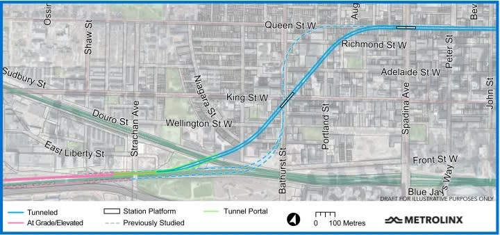
Click Here To View The Subway Map In Greater Detail PDF
As the project continues to evolve and details firm up, Metrolinx will continue to share updated project information through the Ontario Line Metrolinx Engage website, which is designed to facilitate a two-way exchange between community members and Metrolinx staff. People are encouraged to share views, comments and suggestions on this engagement platform as work continues on this vital transit project.
“We want people who will ride on, and live near, the Ontario Line to visit our website so they can learn more about the project and share their feedback as we post more and more updates and discussion items,” said Josh Vandezande, the Metrolinx senior manager for community relations along the route. “Feedback is always welcomed because we know that good suggestions can help us refine our plans and reduce construction impacts.”
The website also hosts the recently released Environmental Conditions Report, which documents current details about archaeology, noise and vibration, heritage, natural environment and traffic in areas along the route, to help the project team make informed decisions, as they continue to design the Ontario Line. For more, click here.
And stay tuned for more updates on refinements to the Ontario Line plan in the coming weeks, as we move eastward through downtown and make our way up to the end of the line at the Ontario Science Centre.
by Mike Winterburn Metrolinx communications senior advisor