Drone system captures interesting angles for Hurontario LRT
It’s a bird, a plane – no, it’s the drone system for the Hurontario LRT. Learn more here.
Mar 25, 2021
We’re sorry if we tend to, well, drone on and on about some of the overhead videos we’ve collected above projects like the Hurontario Light Rail Transit (HuLRT) project.
But they’re very cool.
Hurontario LRT: Progress Update | Everything You Need To Know
And judging by how many views they get, we know many of you like them as well.
But you may also be curious to turn the focus around a bit, and explore what drone system is used to chronicle the HuLRT project – as Metrolinx’s other transit projects have their own flying video tools.
WHAT’S THAT ABOVE?
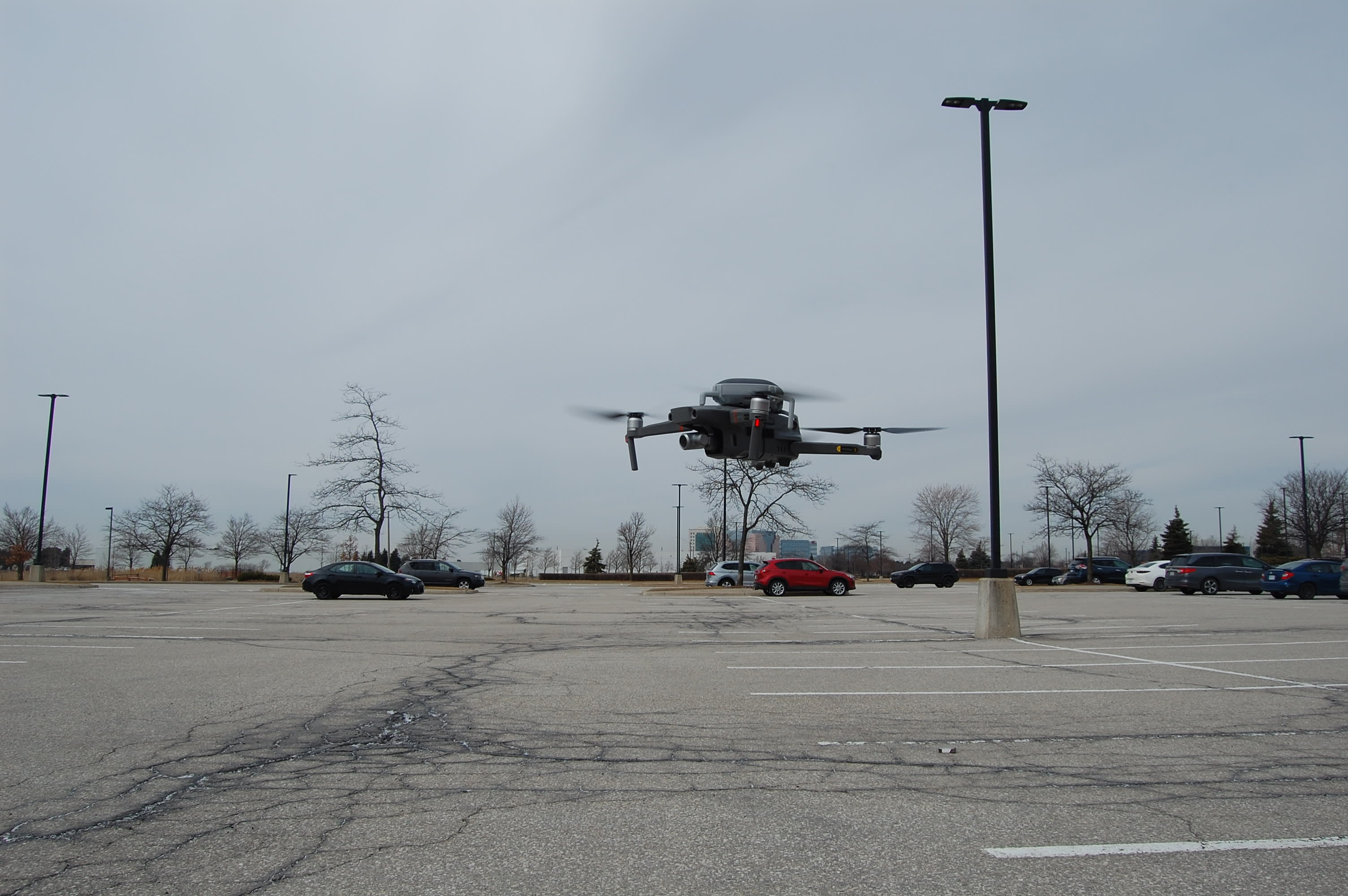
In this case, it’s a DJI Mavic 2 Zoom Enterprise drone.
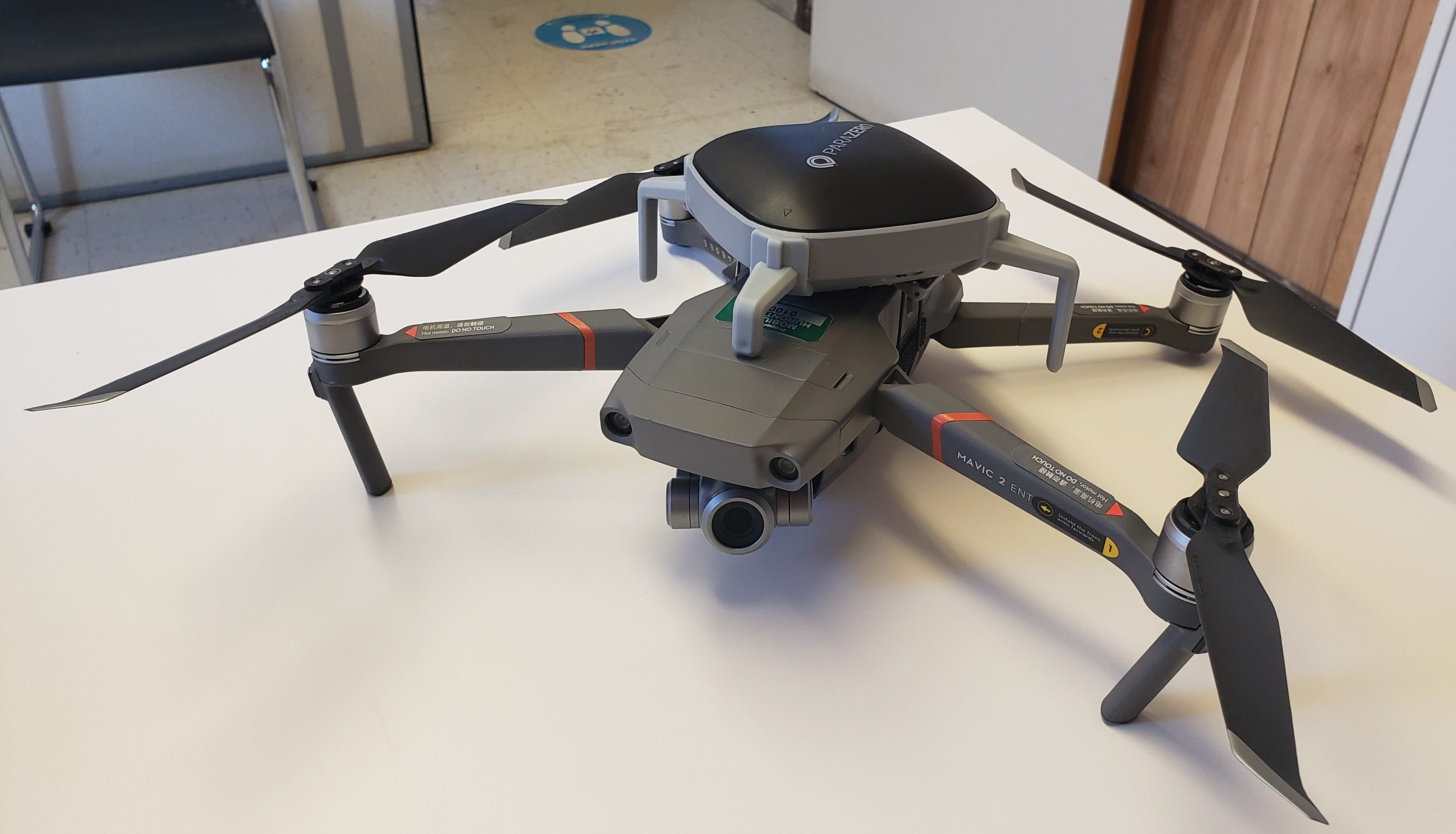
A DJI Mavic 2 Zoom Enterprise drone, during a rare moment when not in the sky. (Metrolinx photo)
Whether using the 12- megapixel drone camera with its 2X optical zoom for photos or 3X digital zoom for recording a 4K video, the views would have only been available by using a manned helicopter, not so many years ago. Weighing 905 grams – about the weight of a pineapple – the drone camera is stabilized by a gimbal that helps reduce shakiness, ensuring smooth video quality.
HOW ABOUT THE CANADIAN COLD?
The drone uses self-heating batteries, so it can fly in sub-zero temperatures for approximately 20 minutes, before the battery needs to be replaced.
Because it’s flown through a commercial airspace, Transport Canada requires the pilot to have an Advanced Certificate. The drone must also have a ParaZero parachute system installed as a precaution as it flies over vehicles and pedestrians.
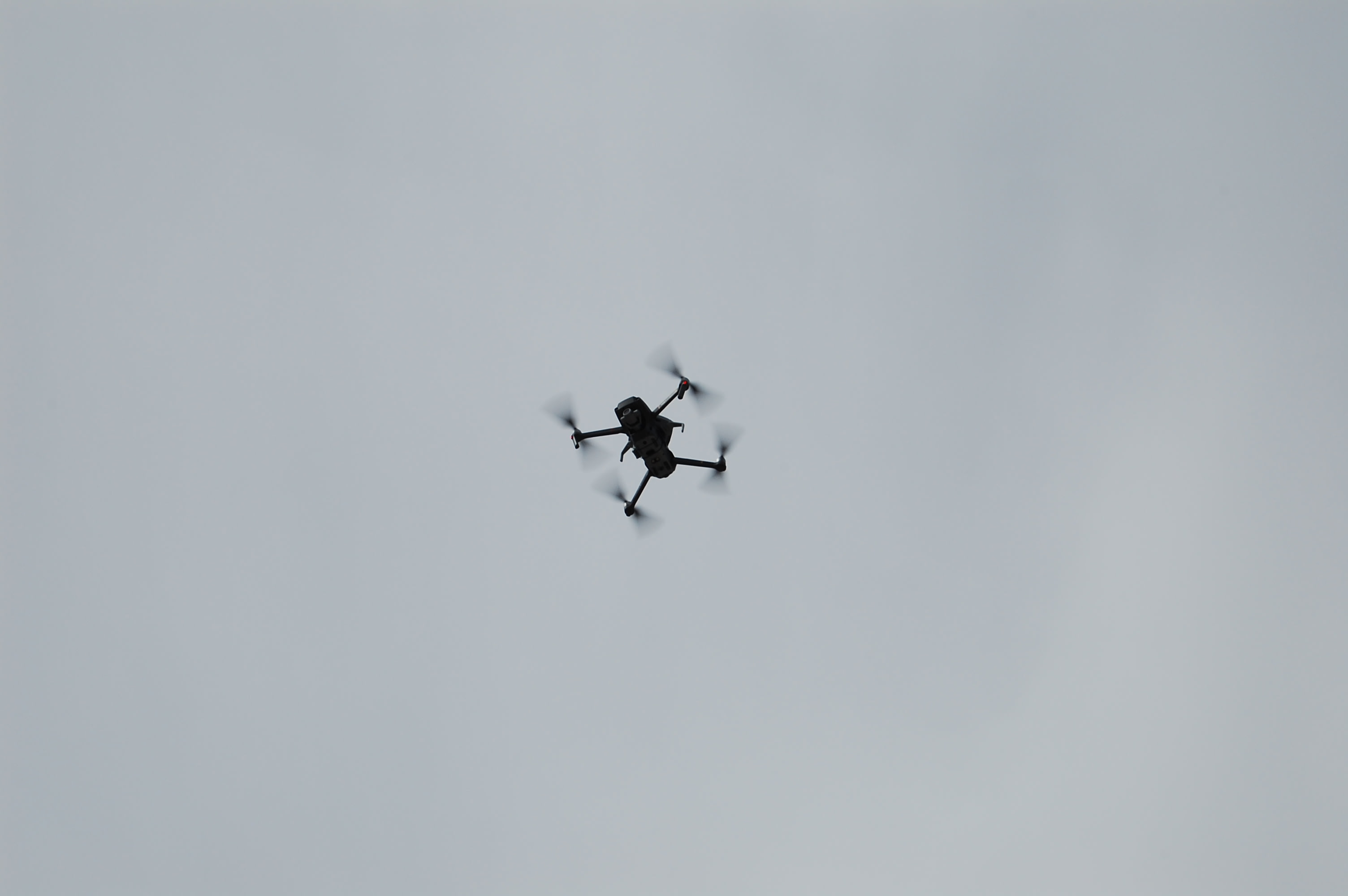
The drone setting off. (Metrolinx photo)
The drone is flown from the Port Credit Go Station in Mississauga to the Brampton Gateway Terminal, at heights varying from 250 to 400 feet, complying with Transport Canada and Pearson International Airport guidelines.
Before flying into Pearson airspace, a permit is always put in place prior to liftoff.
And high above. (Metrolinx photo)
The view it allows of the HuLRT route is captivating – but so is how far the technology has come, to be able to capture that angle of the developing transit route between busy Brampton and Mississauga.
by Erika D’Urbano Communications senior advisor