Mapping Toronto’s underground in 3D to plan the Ontario Line
Using LiDAR technology to scan beneath the surface of work sites.
Apr 29, 2025
Robots and lasers might evoke images of sci-fi movies, but the Ontario Line is using them to plan and design real-world transit.
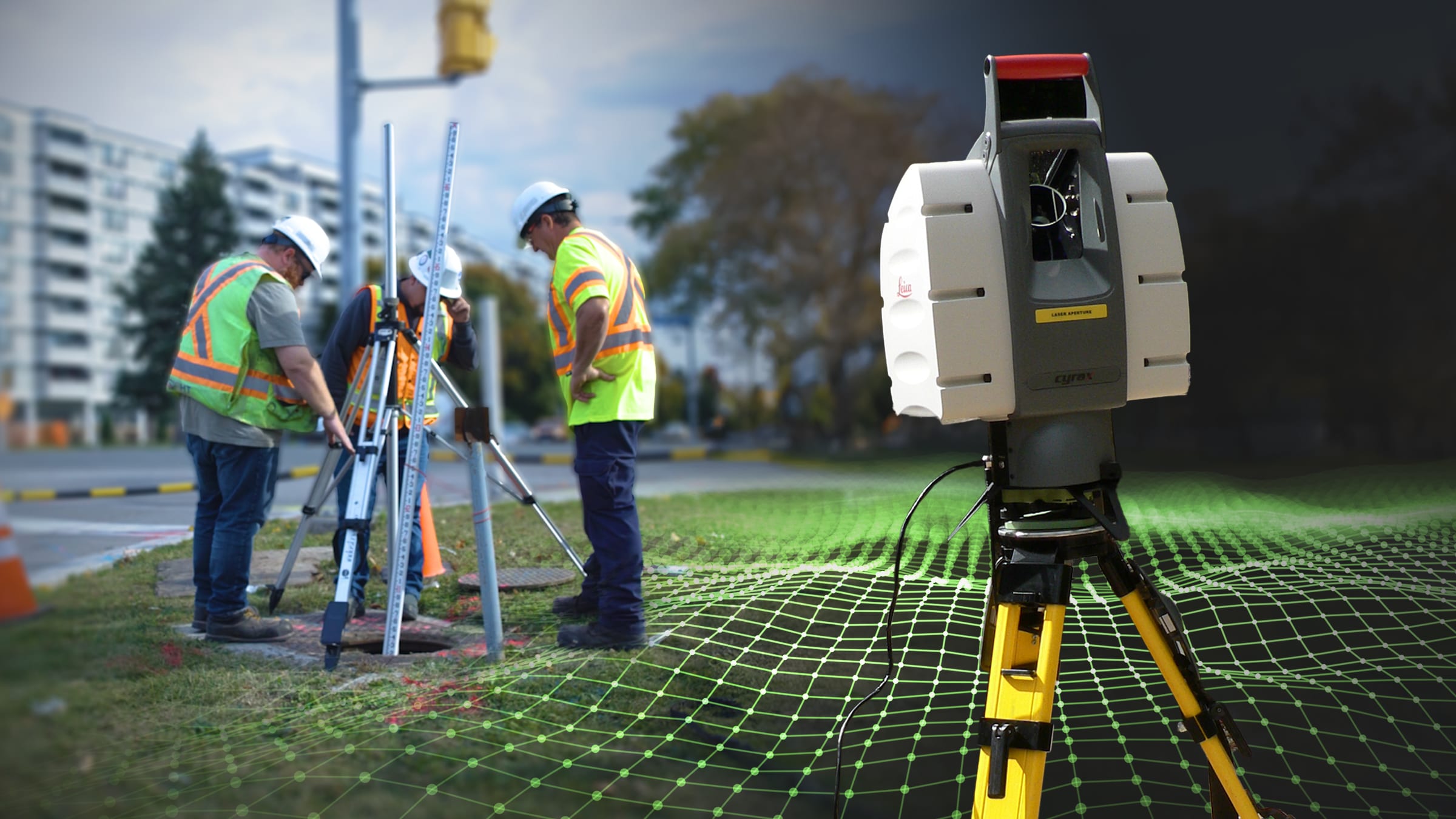
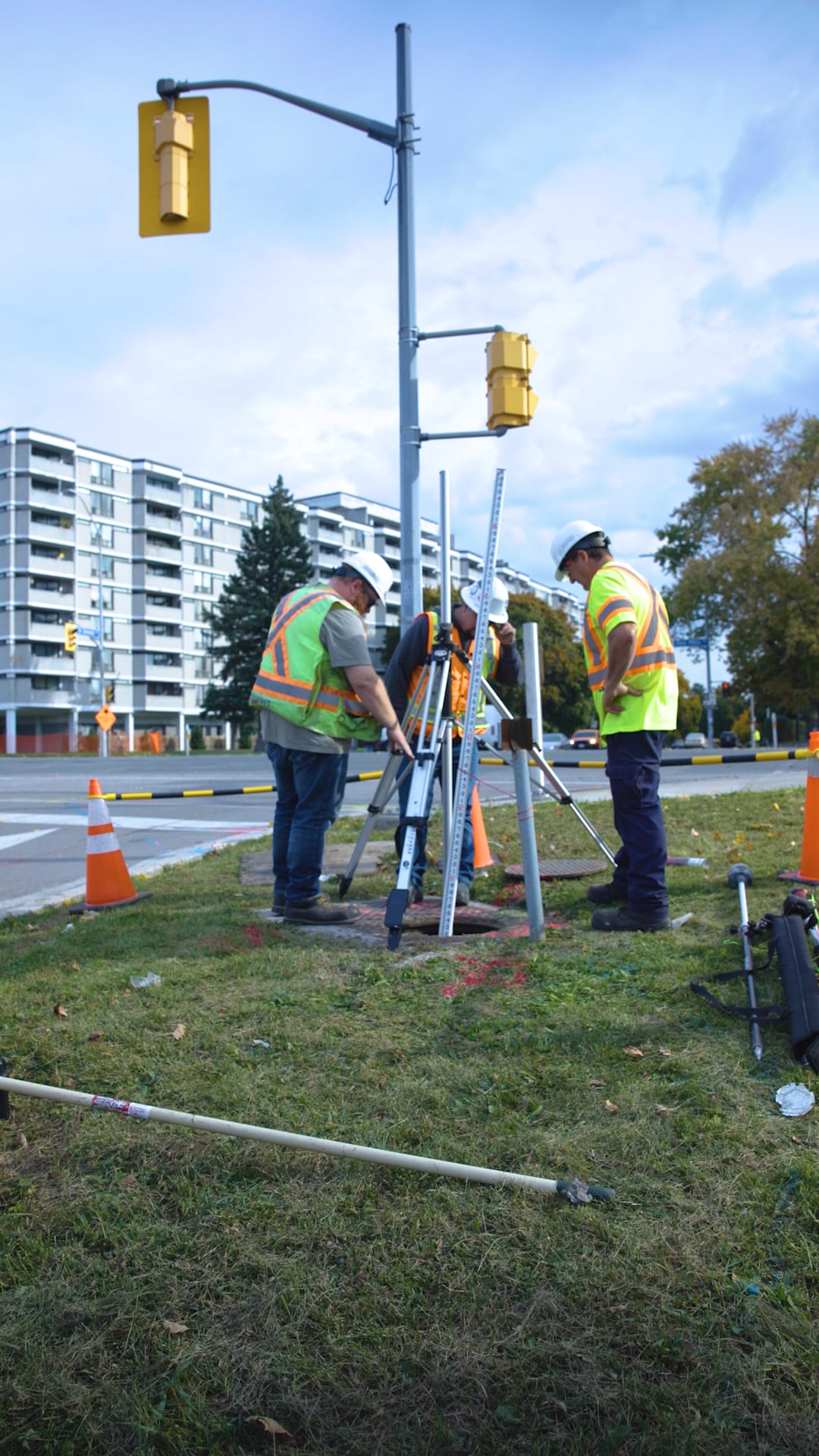
Before we start to build, we need to have an accurate understanding of our work sites, both above and below ground. This is where light and detection ranging technology (LiDAR) comes in.
Much of the work that goes into delivering new transit involves preparing for bigger, more recognizable elements like stations, tunnels and tracks. LiDAR scanning gives us a precise and detailed picture of what already exists underground, so we know what we need to relocate or where we need to build to avoid running into things like utilities.
How does LiDAR work?
LiDAR machines use light in the form of a pulsed laser that bounces off surfaces and returns to the scanner to remotely measure spatial distances and map them out.
Compact and portable, these machines can be lowered into manholes to capture a 3D view of the existing chambers, walls and utilities – such as sewer pipes, storm water drains or utility tunnels – to gather critical data for the teams planning and designing the Ontario Line.
Beyond simply mapping the locations of existing utilities or other underground infrastructure, LiDAR also provides critical data about structural ground conditions that our teams need to know to safely and accurately plan their approaches.
Why use LiDAR for transit planning?
LiDAR technology makes it easier for teams to gather the necessary information to plan construction and design transit infrastructure.
LiDAR saves time, as it can scan large areas quickly and accurately compared to manual site surveying methods.
This technology is also safer than manual surveys, which requires workers to enter manholes. We can send a LiDAR machine underground instead of a person.
This technology is safer than manual surveys, which requires workers to enter manholes. (Metrolinx photo)
Technology to take transit into the future
We're also employing state-of-the-art technology for the Ontario Line beyond the planning and construction stages.
The 15.6-kilometre Ontario Line will be able to deliver faster, more frequent service by using modern technology that has been adopted by leading subway systems around the world.
The line will feature fully automated trains with modern signalling like the ones used in Vancouver, London, Paris and Singapore. We will be able to cycle these through the system faster, meaning we can run up to 40 trips an hour with as little as 90 seconds in between trains.
A trip from end-to-end will take less than 30 minutes, making it quicker and easier to travel within Toronto and beyond.
by Caitlin Docherty Communications Senior Advisor, Subway Program