Wayfinding Harmonization
- Projects & Programs
- Wayfinding Harmonization
Overview
An easier way to navigate transit.
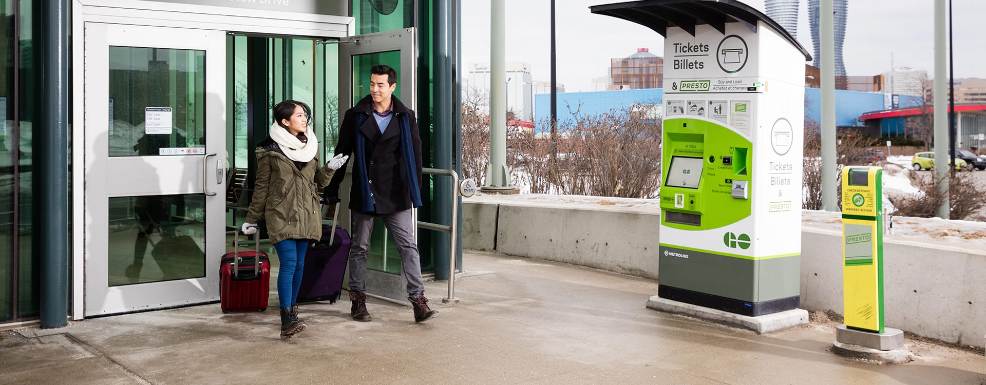
Transit Wayfinding tools are the signage, maps, and other visual information that tells you where you need to go by answering basic questions like “Am I at the right bus stop?”, “Where do I pay for my fare?”, or “Where do I catch the train?”. Wayfinding tools can also help you understand how different transit services and systems connect to one another, making for an easier and more relaxed commute.
Today, each of the 10 transit operators in the Greater Toronto and Hamilton Area (GTHA) use their own unique wayfinding systems, which can be confusing for customers, especially when trying out new routes and services. One of the priority actions in The Regional Transportation Plan includes “consistent wayfinding across all modes” (Priority Action 3.3). To deliver on this, Metrolinx and our transit partners are working together through the Regional Transit Wayfinding Harmonization project. The goal of the initiative is to improve the consistency of wayfinding across the region to make your commute better and easier.
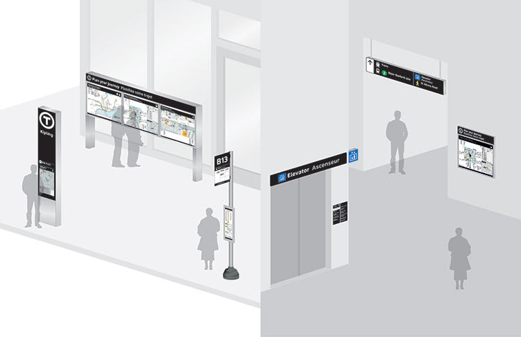
Wayfinding Pilot
New wayfinding design standards are ready for testing. Beginning in fall 2018 you will start to see new signs and maps at Pickering GO Station, Hamilton GO Centre, Finch GO Bus Terminal, and UP Express Stations. Customer feedback is key to our success. Tell us what you think at wayfinding@metrolinx.com.
For more information, read this Fact Sheet.